
Drones3 min read
Drones as first responders: more flights, more demand for rules
San Francisco and Los Angeles are scaling up drone programs that arrive before patrol cars. The debate is no longer whether they work, but under what limits and with what transparency.
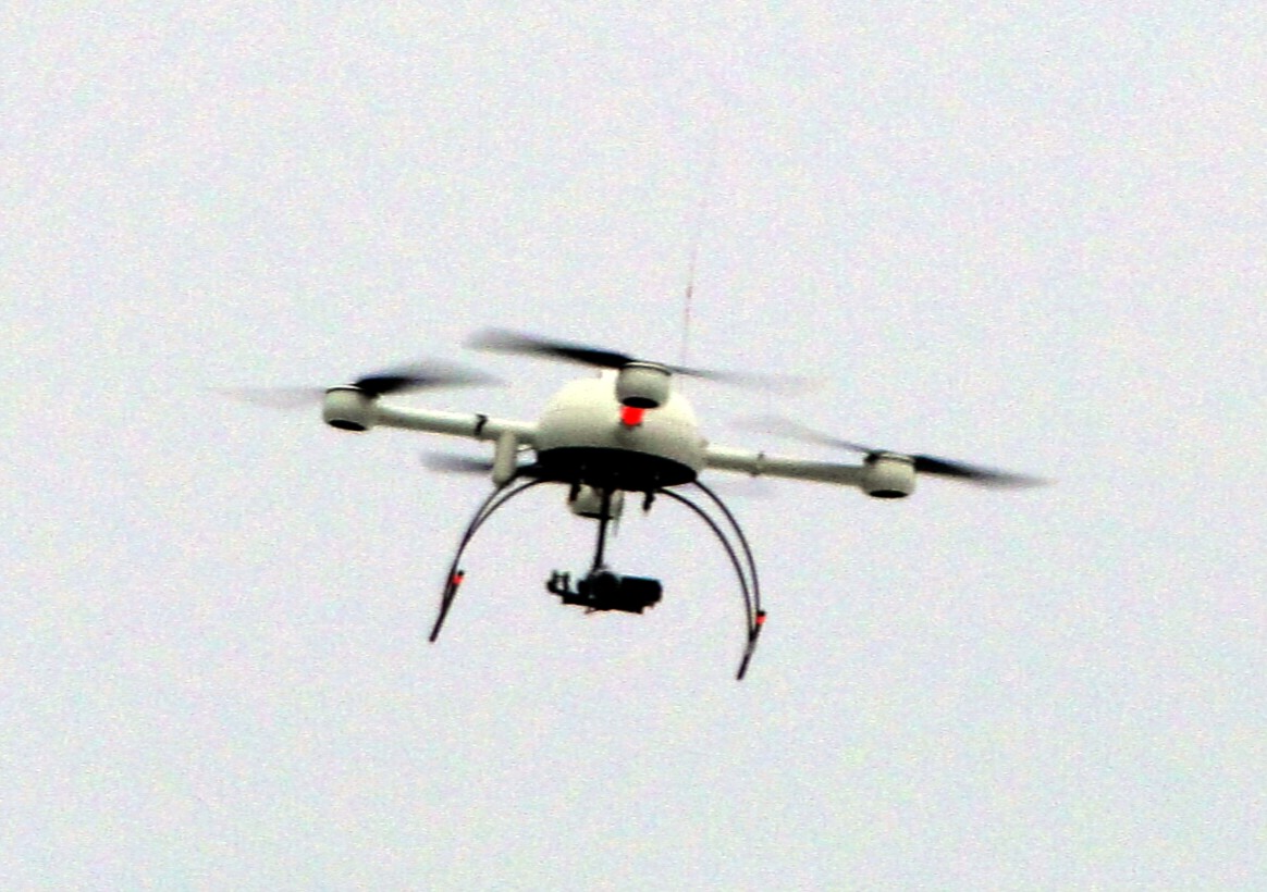
The Drone as First Responder (DFR) model launches a drone from a fixed base as soon as dispatch receives a report, streaming video to the center and to units before the first patrol car arrives. In 2026 the model moved from isolated trials to citywide programs, and that growth brought hard questions about its limits.
Los Angeles: more bases and a public log
In February, the Los Angeles Police Commission accepted a 2.1 million dollar donation from the local police foundation to expand its DFR program, which began in June 2025. The plan calls for 23 docking stations across eight divisions and retail areas. The most notable piece is a public website where the department lists each deployment along with the drone's flight path, an accountability measure that responds to surveillance concerns.
San Francisco: from incidents to patrol
In late September, the Electronic Frontier Foundation (EFF) submitted comments on the San Francisco Police Department's proposed drone policy. The figures it cites show how quickly use is growing: about 350 deployments in 2024, more than 1,100 between January and August 2025, and over 3,500 in the first five months of 2026 alone. EFF notes that use started with pursuits and active investigations and expanded to general patrol, and that the draft allows flights in almost any situation where an officer could be sent.
EFF asks for precise definitions of permitted uses, incident-based deployment criteria, a second look at the 30-day retention period for footage, and meaningful oversight mechanisms.
Why it matters for a command center
A drone that arrives in two minutes changes how dispatch works: the operator can confirm whether a report is real, how many people are involved or whether a fire is spreading before committing units. But the drone is just one more sensor. Its value depends on the center linking the video to the right incident, having rules on when to launch, and keeping an auditable record of every flight.
Both cases point the same way. The technology is moving faster than policy, and the programs that keep public trust are the ones that document every deployment and restrict use to specific events.
How we apply it at Exylia
Our command center platform treats each flight as part of an incident: the report, the assigned unit, the location on the map and what the drone contributes all sit in the same record, with timestamps and the responsible operator. That way a center can later establish why a drone was launched, for which event and what was captured.
We also work with drones for photogrammetry, 3D models and building inspection, which are useful for post-incident assessment. Alongside that, we help draft the privacy notices, security measures and retention periods required by Mexican personal data law, so image capture has clear rules from the design stage.
Through our field app, the units heading to the scene receive the incident location and the information the center has already confirmed, which reduces uncertainty on arrival. Supervisors can follow each unit's status on the same map the operators use.
Try it in a simulation
Sources
- EFF to San Francisco Police: Drones are Powerful Surveillance Tools That Require a Robust Policy · Electronic Frontier Foundation
- LAPD receives $2.1 million donation to expand drone program, creates website to track use · CBS Los Angeles
Summary and analysis by Exylia Systems based on the sources cited.


